WHY INSURDATA
Creating the highest resolution geocoding data globally
Precise
The highest resolution geocoding data to optimise pricing, underwriting and risk assessment decisions.
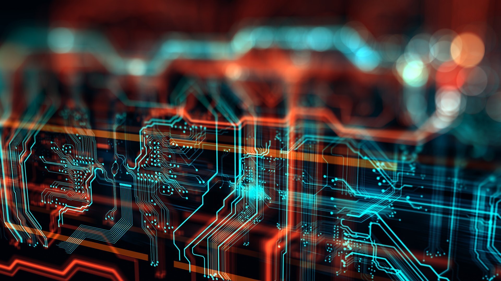
Delivering high-resolution, accurate geocoding data, Insurdata's proprietary technology creates and augments property-level geocoding information.
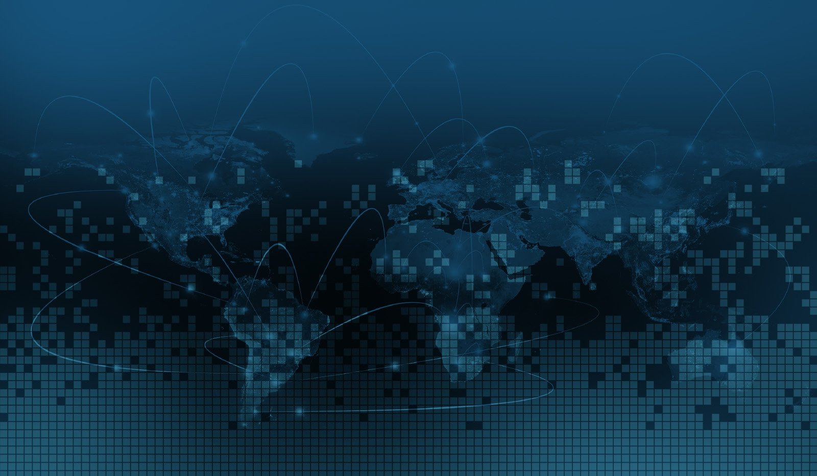
Global
Insurdata technology works globally.
Insurdata technology analyses exposure data globally. To date we have created and augmented geocoding data in +80 countries.

Focused
Geocoding data delivered in a way that helps organisations target areas with the biggest potential portfolio impact.
Our algorithm's embedded workflow allows clients to prioritise and sequence their geocoding data with the greatest impact to their existing portfolio and risk appetite.
Relevant
Delivering relevant geocoding data where it's needed most at any point in the re/insurance chain.
Insurdata's algorithm identifies the most efficient sequence of steps to generate precise information specific to the particular peril or individual risk.
Independent
Insurdata is 100% focused on geocoding data to increase our clients' understanding of risk.
We complement existing underwriting, exposure management, pricing, and modelling activities with precise geocoding data created independently from existing hazard and modelling data.
Specialist
Designed and built by industry and technology specialists who understand re/insurance.
The Insurdata team brings together leading experts from across the re/insurance risk management spectrum, including underwriting, exposure management, modelling and broking, as well as technology and data management specialists.
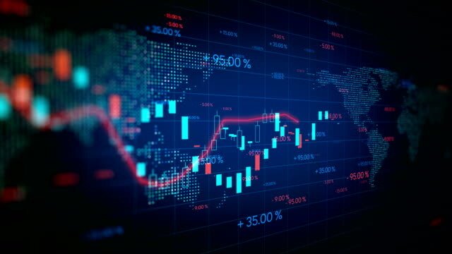
Real-Time
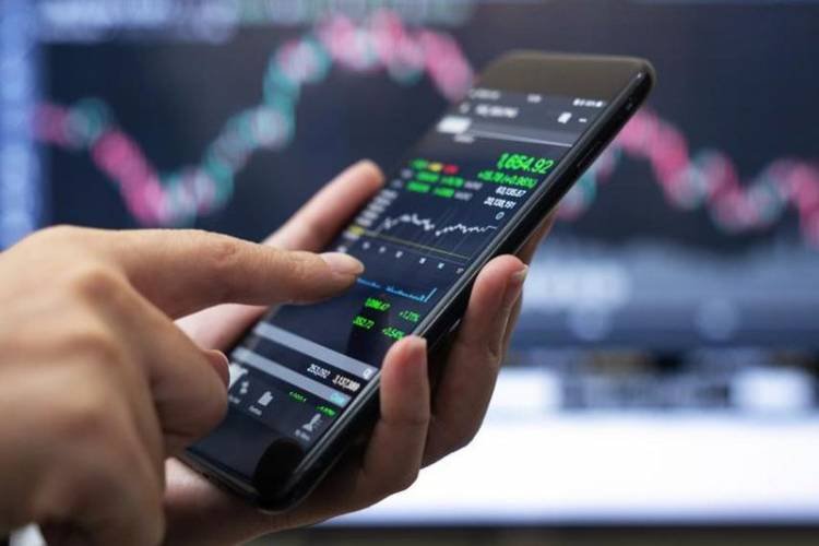
Generating real-time geocoding data through the risk assessment process, from point-of-underwriting to risk transfer.
Our algorithm API fits seamlessly within existing workflows and technology architecture, providing relevant, real-time geocoding information where and when it's most needed.
Ready to Experience the Insurdata Difference?
Discover how our precise, global geocoding solution can transform your risk assessment.